Iowa
Iowa Weather Alert Expect Storms Then Record-Breaking Weekend Heat
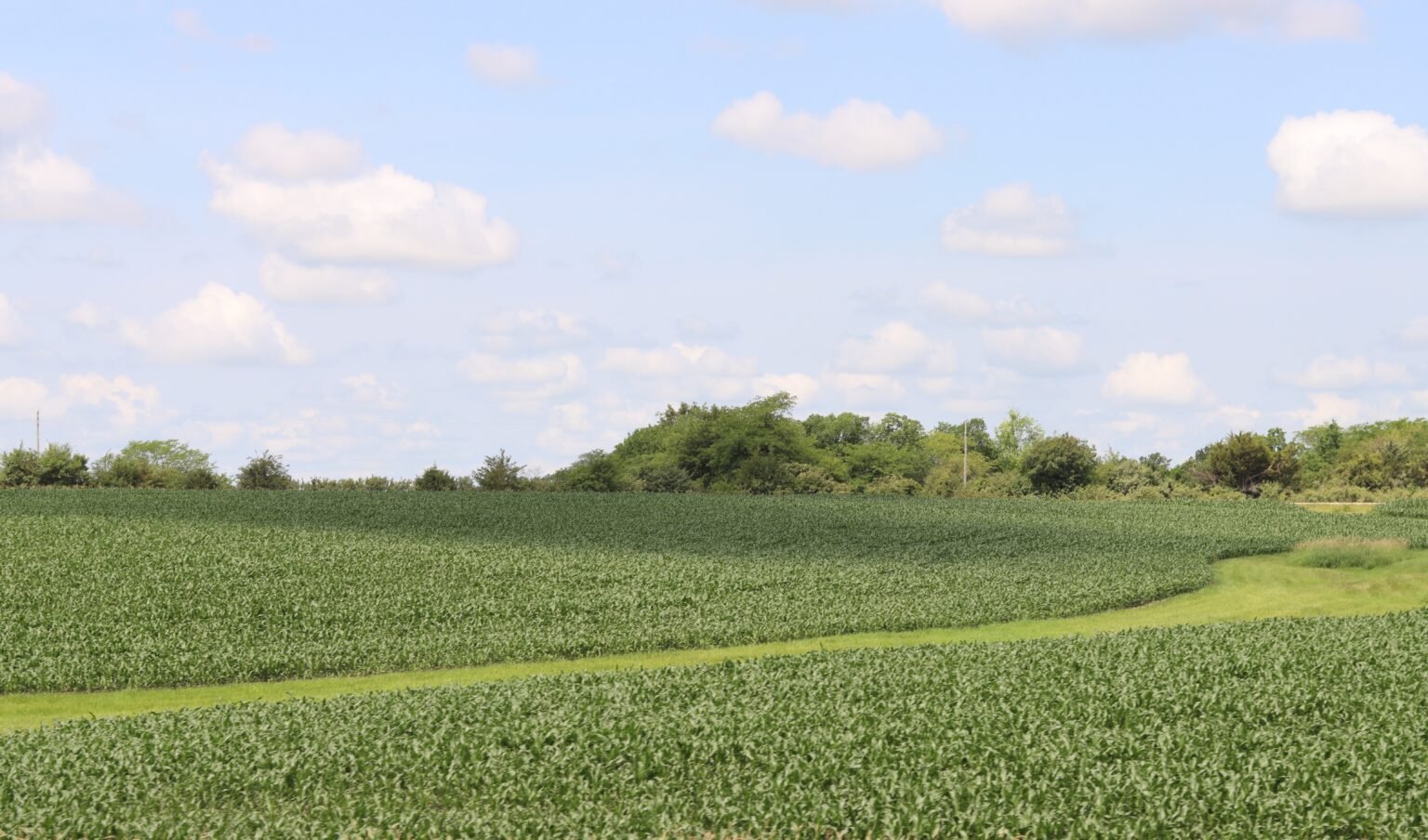
From midweek thunderstorms to sizzling temperatures, here’s your five-day Iowa survival plan.
| 82°66° | Humid; a morning shower, then showers and a heavier thunderstorm; storms can bring flooding downpours, hail, damaging wind gusts, and an isolated tornado |
| 79°63° | Mostly cloudy and humid with periods of rain and a thunderstorm, then a leftover shower |
| 90°71° | Warmer with abundant sunshine |
| 92°78° | Mostly sunny, becoming windier and humid |
| 98°76° | Windy and hot with blazing sunshine; danger of dehydration and heatstroke if outside for extended periods of time |
| 95°76° | Windy and hot with the temperature approaching the record of 37 set in 1988 with sizzling sunshine |
| 95°74° | Breezy and hot with plenty of sun |
Hold on tight, Iowans—this week delivers a high-impact weather swing, starting with a stormy midweek and finishing strong with a scorching weekend.
🌩️ Early-Week Storm Watch
Tuesday brings a moist, stormy start with foggy mornings giving way to scattered thunderstorms by afternoon. These storms could be severe—expect heavy rainfall, hail, damaging winds, and an isolated tornado threat as a system sweeps across the state.Flash flooding is a concern, especially in central and southern Iowa, with rainfall totals possibly reaching 2–3 inches overnight. Wednesday continues the unsettled pattern with persistent showers and storms. Though the system will weaken, pockets of heavy rain will remain—keep an eye out, especially during the late morning and early afternoon.
☀️ Heatwave Incoming
Thursday marks a major pivot—sunshine returns and temperatures climb into the low 90s°F. Prepare to crank up the AC as high heat and rising humidity will set the stage for a major weekend heat wave .
By Friday, gusty winds may develop ahead of a strong heat dome, with highs nearing 95°F. The real sizzle hits Saturday and Sunday, with daytime highs nearing 98°F, heat-index values in the triple digits, and record-breaking potential in the air. Monday continues hot and breezy, bringing respite from storms but keeping temperatures elevated.


Trump Gives Iran 5 More Days — But Tehran Says There Were Never Any Talks to Begin With, as the World Braces for What Comes Next…

Colombian Military Plane With 110 Soldiers Crashes on Takeoff — As Another Airport Tragedy Strikes New York the Same Day…

Broadway Shake-Up: Samira Wiley Steps Away From ‘Proof’… Kara Young Steps In at the Last Moment

Broadway Surprise: Samira Wiley Drops Out of ‘Proof’… Kara Young Takes Center Stage

‘Dune 3’ Will Be a “Thriller”… Denis Villeneuve Drops a Big Hint as Zendaya & Robert Pattinson Join the Spotlight

1-Iran Issues Dire Warning to Israel and Defies Trump on Nukes: “We’re Ready to Strike Deep Inside”

Donald Trump’s net worth reveals the fortune behind the former US President and business mogul

“She Never Made It Out…” Albany House Fire Claims Woman’s Life as Family Pleads for Help to Bring Her Home

Caitlin Clark Sidelined with Quad Strain, Set to Miss Two Weeks of WNBA Action

“Tomás Rodríguez Net Worth 2025: Panama’s Gold Cup Goal‑Machine’s Surprising Fortune Revealed”

Miss Jamaica Suffers Terrifying Fall Off Miss Universe Stage; Rushed to Hospital on Stretcher in Viral Video

Moana Live-Action Teaser Sparks Outrage as Fans Call Disney’s Move a ‘Clear Money Grab’ — What Went Wrong?

Ryan Gosling’s Project Hail Mary Trailer Stuns Fans with a Mysterious Alien Ally and a Mission That Could Save Earth

Apple delays Jessica Chastain thriller The Savant about domestic extremism after recent US violence

Avatar 3, Fire and Ash trailer reveals Jake Sully’s family facing terrifying new Na’vi enemies with deadly fire powers
-

 Entertainment5 days ago
Cannes 2026 Hasn’t Announced a Single Film Yet — But the Whisper Network Is Already Pointing to These Names and It’s Exciting…
-

 Entertainment7 days ago
Oscars 2026 Red Carpet Shockers: Zendaya’s Late Arrival, Jessie Buckley’s Grace Kelly Tribute… and Chase Infiniti Owning the Night
-

 Entertainment6 days ago
Amy Poehler and Sterlin Harjo Are Getting One of Television’s Highest Honours — and the Reason Why Says Everything About Where Storytelling Is Headed…
-

 Politics1 week ago
“Trump Reveals ‘Early Stage Breast Cancer’ Diagnosis of Susie Wiles… But Says Her ‘Strength Says Everything’”
-

 Entertainment5 days ago
Almodóvar, Lars von Trier, Joel Coen and More — The Films That Could Own Cannes 2026 Are Already Generating Serious Buzz and the List Is…
-

 Entertainment1 week ago
The Oscars Are Already Being Called Before They Happen and Scott’s Final Feinberg Forecast Reveals a Shocking Front-Runner That Nobody Saw Coming…
-

 Entertainment5 days ago
Lollapalooza 2026 Just Dropped Its Most Surprising Lineup Yet — and the One Historic Thing Nobody Is Talking About Is the Real Story…
-

 Health1 week ago
“Kent Meningitis Tragedy: Second Student Dies as Outbreak Sparks Hospital Emergency…”