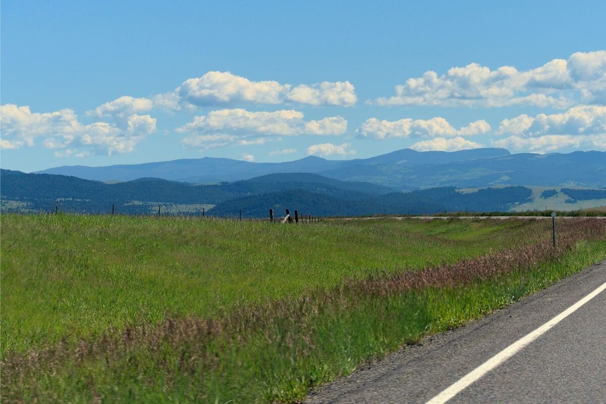
Montana
Montana Whiplash Weather Incoming Storms Then Freezing Cooldown Ahead
Warm spells across the state give way to midweek thunderstorms and a chilly weekend—here’s how to stay prepared in Big Sky Country.
| 82°54° | Mostly sunny and warmer; breezy this afternoon |
| 87°55° | Very warm with plenty of sunshine |
| 84°58° | Clouds and breaks of sun with a thunderstorm in spots in the afternoon |
| 74°55° | Clouds and breaks of sun |
| 64°48° | Breezy in the morning; cloudy and cooler with a brief shower or two |
| 62°40° | Cool with rain at times |
| 69°41° | Sunshine and a few clouds |
Montana is stepping into a wildly shifting weather week that feels like summer, fall, and spring all rolled into one. Whether you’re planning a hike in the Rockies, road-tripping across the plains, or relaxing in Helena, here’s how to navigate the forecast.
☀️ Early Week Warmth
Tuesday and Wednesday bring warm, breezy days with ample sunshine and highs in the mid‑80s°F—well above seasonal norms. This short heat wave follows a period of cooler spring temperatures, bringing a welcome dose of early summer vibes for the western valleys. Think of it as Montana’s “preview weekend”—dry, warm, and wind-swept—perfect for outdoor plans, though fire danger may rise.
⚠️ Midweek Thunderstorms
Come Thursday, warmer air clashes with advancing moisture ahead of a frontal boundary. Expect scattered afternoon thunderstorms—mostly in central and eastern regions—with the chance of stronger cells, brief heavy downpours, gusty winds, and local hail. While not widespread, these storms can disrupt outdoor plans and spark fire-weather shifts.
🌧 Weekend Cool-Down
A sharp cold front sweeps through Friday into the weekend, dropping temperatures dramatically. Expect highs in the 60s°F or even 50s°F with cloudy skies, scattered showers, and mountain rain beginning Saturday. Interior valleys will feel the chill, and overnight lows will drop into the 40s°F or lower—raw compared to earlier in the week .


Russell T Davies Says ‘You’re Queer in 2026, You’re a Political Act’ — and His New Show ‘Tip Toe’ Is His Most Furious, Personal Work Yet…

Netflix’s Ted Sarandos Turns to Europe After Warner Deal Collapse… and Sends a Subtle Message to Regulators

The Writers of ‘Paradise’ Debated Hard Before Giving You That Jaw-Dropping Moment Early — Here’s Why They Finally Said ‘Do It…’

Rajasthan Royals Sold for Record $1.63 Billion — IPL’s First $1 Billion Franchise, Meet New Owner Kal Somani

Spencer Johnson Ditches PSL, Joins CSK for IPL 2026 — PCB Threatens Legal Action as Player Exodus Continues

1-Iran Issues Dire Warning to Israel and Defies Trump on Nukes: “We’re Ready to Strike Deep Inside”

Donald Trump’s net worth reveals the fortune behind the former US President and business mogul

“She Never Made It Out…” Albany House Fire Claims Woman’s Life as Family Pleads for Help to Bring Her Home

Caitlin Clark Sidelined with Quad Strain, Set to Miss Two Weeks of WNBA Action

“Tomás Rodríguez Net Worth 2025: Panama’s Gold Cup Goal‑Machine’s Surprising Fortune Revealed”

Miss Jamaica Suffers Terrifying Fall Off Miss Universe Stage; Rushed to Hospital on Stretcher in Viral Video

Moana Live-Action Teaser Sparks Outrage as Fans Call Disney’s Move a ‘Clear Money Grab’ — What Went Wrong?

Ryan Gosling’s Project Hail Mary Trailer Stuns Fans with a Mysterious Alien Ally and a Mission That Could Save Earth

Apple delays Jessica Chastain thriller The Savant about domestic extremism after recent US violence

Avatar 3, Fire and Ash trailer reveals Jake Sully’s family facing terrifying new Na’vi enemies with deadly fire powers
-

 Entertainment6 days ago
Cannes 2026 Hasn’t Announced a Single Film Yet — But the Whisper Network Is Already Pointing to These Names and It’s Exciting…
-

 Entertainment7 days ago
Amy Poehler and Sterlin Harjo Are Getting One of Television’s Highest Honours — and the Reason Why Says Everything About Where Storytelling Is Headed…
-

 Entertainment6 days ago
Almodóvar, Lars von Trier, Joel Coen and More — The Films That Could Own Cannes 2026 Are Already Generating Serious Buzz and the List Is…
-

 Entertainment1 week ago
Oscars 2026 Red Carpet Shockers: Zendaya’s Late Arrival, Jessie Buckley’s Grace Kelly Tribute… and Chase Infiniti Owning the Night
-

 Entertainment1 week ago
The Oscars Are Already Being Called Before They Happen and Scott’s Final Feinberg Forecast Reveals a Shocking Front-Runner That Nobody Saw Coming…
-

 Politics1 week ago
“Trump Reveals ‘Early Stage Breast Cancer’ Diagnosis of Susie Wiles… But Says Her ‘Strength Says Everything’”
-

 Entertainment6 days ago
Lollapalooza 2026 Just Dropped Its Most Surprising Lineup Yet — and the One Historic Thing Nobody Is Talking About Is the Real Story…
-

 Health1 week ago
“Kent Meningitis Tragedy: Second Student Dies as Outbreak Sparks Hospital Emergency…”