Florida
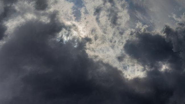
“Florida Braces for Stormy Surge as Heat and Rain Threaten 4th of July Plans”
Unpredictable thunderstorms, muggy heat, and high UV index grip the Sunshine State through the weekend

Florida is heading into the weekend with a volatile weather forecast, and it’s got both beachgoers and barbeque lovers watching the skies. From intense humidity to scattered thunderstorms, the state’s typical summer weather is back in full swing—but with an added punch just ahead of Independence Day celebrations.
According to meteorologists, June 29 to July 1 will feature a dramatic mix of sun, rain, and steamy temperatures. While South Florida can expect heavier rainfall, Central and North Florida will deal with frequent thunderstorms mostly in the afternoons due to sea breeze collisions.
The UV index remains dangerously high, so sunscreen and hydration are a must, especially for those venturing outdoors. Additionally, lightning risks increase during late afternoons, so plan outdoor activities with caution.
🔮 3-Day Weather Forecast for Florida
| Date | Weather Summary | High / Low Temp | Chance of Rain | Wind |
|---|---|---|---|---|
| June 29 | Partly sunny, scattered storms PM | 92°F / 78°F | 60% | SE at 10–15 mph |
| June 30 | Cloudy early, heavy rain late | 89°F / 77°F | 70% | SW at 12 mph |
| July 1 | Isolated thunderstorms, hot & humid | 93°F / 79°F | 50% | ESE at 10 mph |
Expect delays in outdoor events, including fireworks rehearsals in some regions. Coastal cities like Miami, Tampa, and Jacksonville may experience brief localized flooding due to saturated grounds.
Travel Tip: Keep umbrellas handy and monitor real-time alerts. Florida’s weather can flip in minutes, especially during tropical moisture build-ups.
As the Fourth of July approaches, Florida residents are advised to stay weather-aware, especially if you’re planning lakeside parties, beach events, or outdoor parades.
Florida
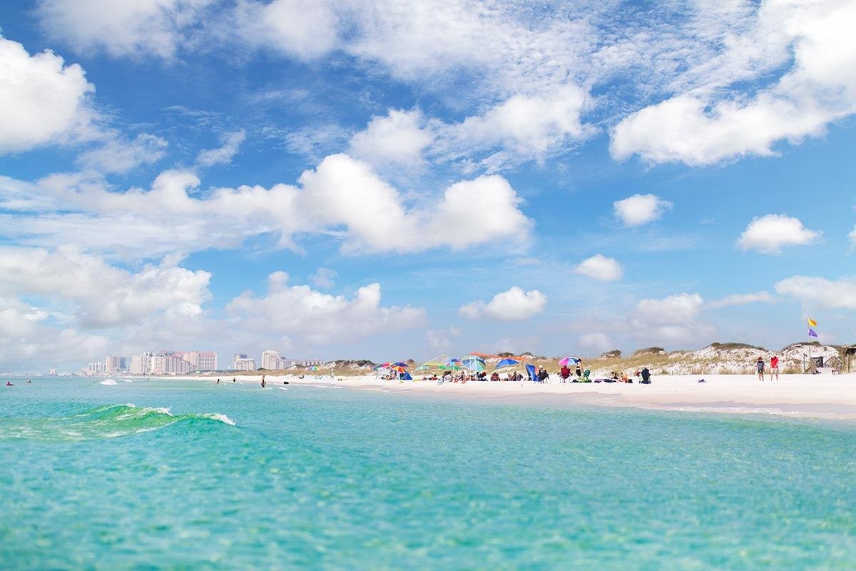
Florida’s 5‑Day Forecast Is a Steamy Stormy Rollercoaster Get Ready
Heat, humidity, and afternoon showers—here’s your guide to navigating Florida’s unpredictable summer week.

| 93°73° | Sunny to partly cloudy and humid |
| 92°73° | Humid with sunshine and a few clouds; a thunderstorm in spots late in the afternoon |
| 91°73° | Sunny to partly cloudy and humid; a thunderstorm in spots in the afternoon |
| 88°74° | Humid with intervals of clouds and sun; a thunderstorm in spots in the afternoon |
| 92°73° | Cloudy and humid; a thunderstorm in spots in the afternoon |
| 94°74° | Partly sunny; a brief morning shower or two followed by a thunderstorm in spots in the afternoon |
| 96°72° | Partly sunny and warm; watch for a strong thunderstorm in the morning followed by a thunderstorm in parts of the area in the afternoon |
Florida’s weather is dialed-up to summertime mode with muggy mornings, steamy afternoons, and a healthy dose of pop-up storms. Whether you’re soaking in the sun or dodging raindrops, here’s your five-day survival guide.
Start of the Week (Tue–Wed): Expect highs in the low 90s under sticky humidity. Afternoon thunderstorms will roll through coastal and inland areas—scattered, but potent enough to quicken the pulse and wet the pavement. Keep your umbrella handy.
Midweek (Thu–Fri): The pattern holds steady—low 90s, muggy air, and daily storm chances. Florida’s “diurnal thunderstorm” pattern strikes again, fueled by daytime heat and coastal moisture. Forecasts say these won’t be heavy rain events—but enough to spawn quick puddles and dramatic skies.
Upcoming Weekend (Sat–Sun into Mon): Heat stays intense. Monday might be the week’s peak with upper-90s and dew points pushing heat index values close to 105°F—heat advisory territory. Storms remain a feature, with nightly chances and morning showers rolling through before midday sunshine returns.
Tropical Watch: The National Hurricane Center is monitoring several tropical waves in the western Caribbean. One could influence Florida’s streak of storms by late week—worth keeping an eye on, though no immediate threat is expected.
🔥 WEEKLY WEATHER TIPS FOR FLORIDIANS
- Hydrate, hydrate, hydrate: High heat and humidity can sneak up on you—pack water, even for short errands.
- Dress to stay dry: Light, breathable fabrics help, but afternoon thunderstorms mean moisture-supporting gear is a plus.
- Rain-ready routine: Keep your rain jacket or umbrella handy—storms could pop up anytime.
- Stay tide-aware: Morning showers followed by stormy afternoons are the norm. Check local alerts for sudden downpours.
- Heat hazard alert: By Monday, it’s all about shade, sun protection, and avoiding outdoor activity during peak hours.
-

 Entertainment6 days ago
He-Man Wears a Suit Now… Nicholas Galitzine’s ‘Masters of the Universe’ Trailer Drops a Shock Fans Didn’t See Coming
-

 Entertainment1 week ago
Brazil Eyes Oscar History Again… ‘The Secret Agent’ Scores Best Picture Nomination as Wagner Moura Stuns Hollywood
-

 Entertainment4 days ago
“Comedy Needs Courage Again…”: Judd Apatow Opens Up on Mel Brooks, Talking to Rob Reiner, and Why Studio Laughs Have Vanished
-

 Entertainment1 week ago
Box Office Shocker as Chris Pratt’s ‘Mercy’ Knocks ‘Avatar 3’ Off the Top but Nature Had Other Plans…
-

 Entertainment6 days ago
Oscars Go Global in a Big Way as This Year’s Nominations Signal a New Era: ‘The Academy Is Finally Looking Beyond Hollywood…’
-

 Entertainment1 week ago
Michael Bay Makes a Power Move… Blockbuster Director Signs with CAA in a Deal That’s Turning Heads
-

 Entertainment6 days ago
“Dangerously Kinky… and Darkly Funny”: Olivia Wilde and Cooper Hoffman Push Boundaries in ‘I Want Your Sex’
-

 Entertainment1 week ago
“I Thought I’d Pass Out”… Sundance Veterans Reveal the Nerves, Breakdowns and Breakthroughs Behind Indie Cinema’s Biggest Stage


